
Phased and public.
Aviation & transportation construction documentation
DFW Terminal F · TxDOT Southeast ConnectorPublic program documents
Published pricing, same as every market. Programs & rates →
The problems we get hired for
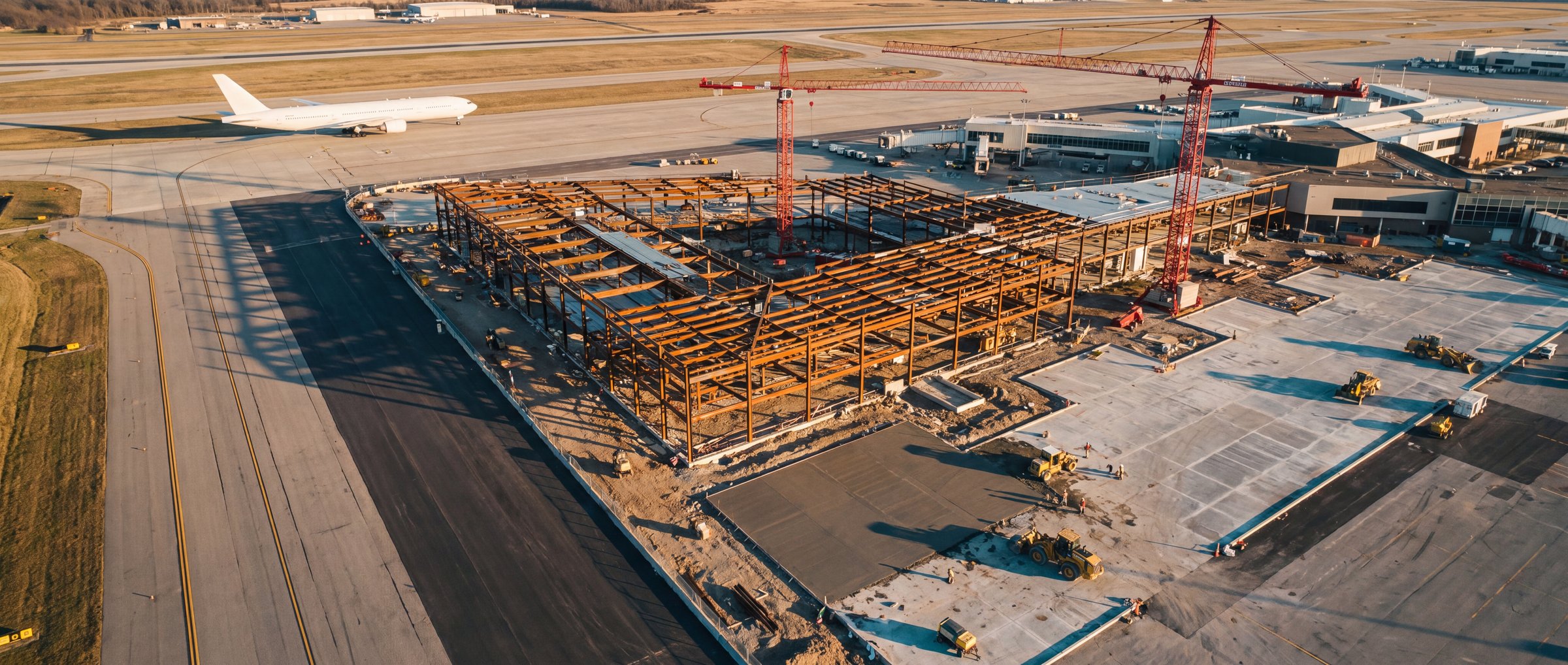
Building in public, next to live operations.
These are long programs with staged handovers, public reporting obligations, and the most complicated airspace in the region. The work is not harder to capture; it is harder to get permission to capture, which is a planning problem rather than a flying one.
“The site ties into a live AOA — access is badged, escorted, and short.”
How we solve it
Capture planned around your access windows and night closures, Class B airspace authorisation coordinated before the visit is ever scheduled, and ground-based capture standing in where a flight can’t happen. The record keeps its cadence even when access doesn’t.
“There’s forty years of undocumented utilities under that apron.”
How we solve it
Existing conditions before demolition, and every new duct bank, drain line and embed documented before the pour or the backfill — georeferenced so the next phase, and the airport’s own GIS, can find it again.
“Every traffic shift redraws the site overnight.”
How we solve it
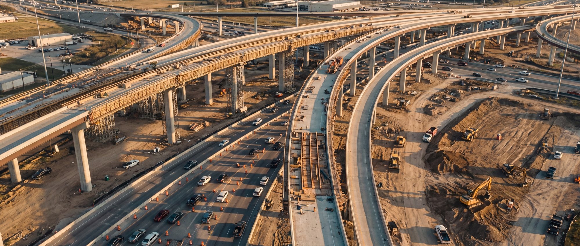
Aerial documentation of each phasing configuration — barriers, lane shifts, haul routes, detours — dated and archived, so what the traveling public drove through in March is a record, not a debate.
“Public money means public questions, years later.”
How we solve it
A time-indexed visual archive across the life of the program: milestone records at every phased handover, progress imagery ready for public updates, and an answer to 'what was there' that’s a lookup instead of a records request.
The other four.
All markets →Data centers
Schedule-critical, spatially large, and watched by people who are never on site. Recurring documentation across earthwork, steel, MEP, equipment pads and commissioning.
Industrial & logistics
Large footprints, tight schedules, and tilt-wall and roofing sequences that reward exact repeat coverage from the same flight path.
Multifamily
Repeated floorplates and hundreds of units make interior 360 history and pre-close documentation worth more than they look. Less glamorous, rewards discipline.
Oil & gas
Tank farms, pipe racks, flare stacks and terminals — drone visual passes instead of scaffold and rope access, scan-based existing conditions for brownfield tie-ins, and turnaround documentation while everything is open.
Building one of these?
Tell us about the project. A person answers.
Scope your project