
Aerial Mapping & Photogrammetry
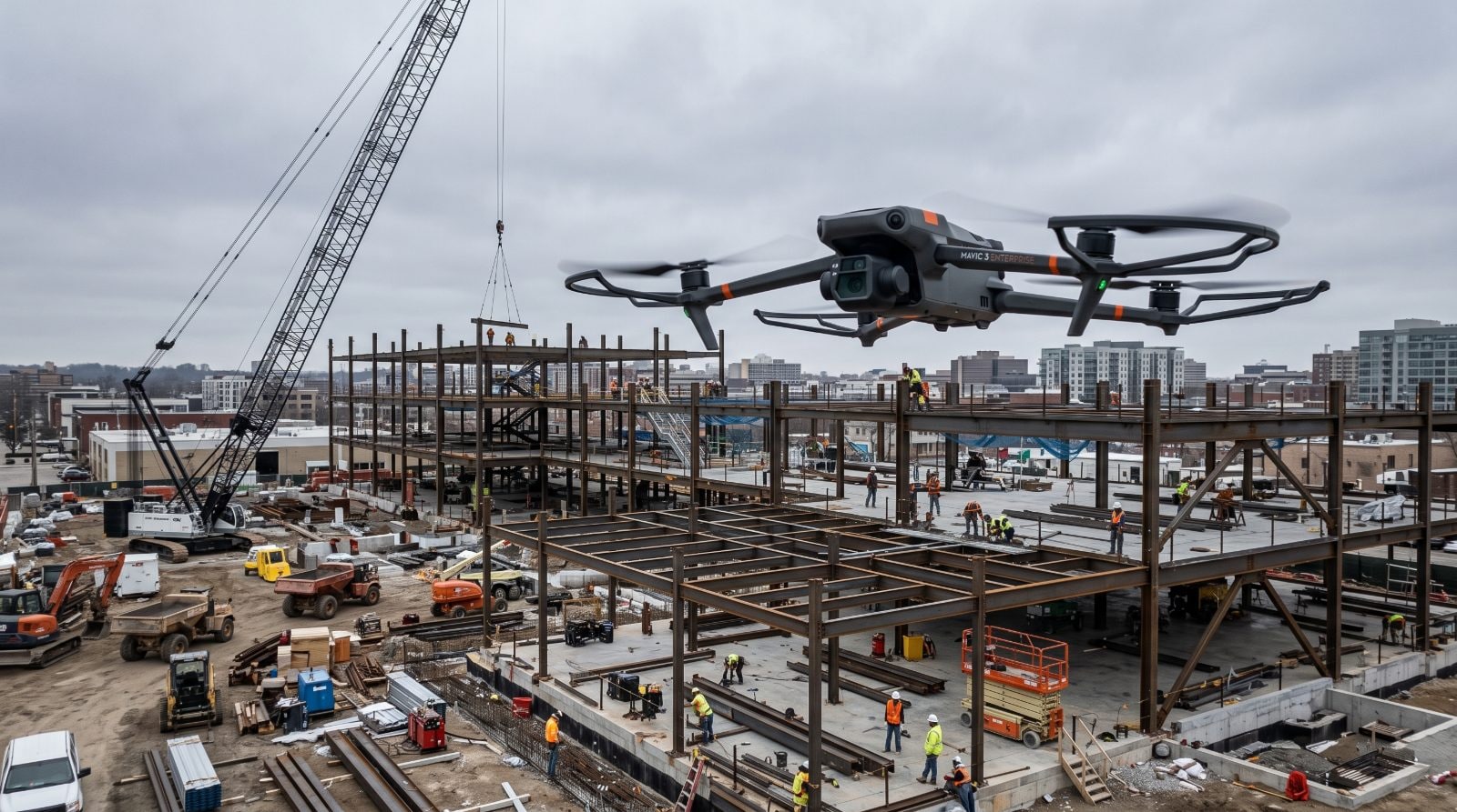
Flights over a defined area, processed into a current georeferenced site map your team can annotate, measure and compare date to date. Elevation surfaces, point clouds, meshes and contours are derived from the same capture and scoped when a project needs them.
- What it costs
- View pricing and build your project
- Published per-service pricing, no payment at reservation. See pricing and start a project →
- Also called
- drone mapping · aerial mapping · orthomosaic · photogrammetry · drone photography · progress flights
Where it earns its keep
Use it for these.
If your problem is “i need to see the whole site every week,” this is the answer.
- Large exterior areas and whole-site coverage
- Site logistics, laydown and haul-road planning
- Earthwork and stockpile visibility
- Roofs and facades you don’t want someone climbing
- Week-over-week exterior progress
Don’t use it for this
Interiors, or anything under a roof or a canopy.
We put this on every service page because the fastest way to waste your money is to buy the impressive tool instead of the correct one. If the row above describes your job, say so on the call and we’ll point you at the right one — including when it’s cheaper than this.
Find the right one by problem →What you receive
And what it opens in.
- Current georeferenced orthomosaic — the aerial site map — in the agreed delivery environment
- Interactive access to that map: annotation, direct measurement and date-to-date comparison
- Standard exports
- Capture date, flown extents, delivery units and coordinate basis
- Known exclusions and any area of incomplete reconstruction
Included every time
Formats
GeoTIFF · JPG · DXF · LandXML · LAS/LAZ · OBJ
Format is agreed against what you do with the data next — these are the ones this service commonly delivers in, not a promise of every format on every project. Delivered to a shared project folder anyone on the job can open: no accounts, no per-seat charge, and if you leave, the record leaves with you.
The boundary
Where this scope ends.
Options on this scope
- Hosted viewer access
- Source imagery
- GeoTIFF orthomosaic export
- DSM — the top captured surface, including buildings, vegetation and equipment
- Photogrammetric point cloud
- Photogrammetric 3D mesh — the reconstruction this capture produces directly
- Bare-earth terrain surface, where site conditions make it technically appropriate
- Contours, identified against the surface they were generated from
- CAD and GIS-compatible exports
- Design or plan overlay against current conditions — a comparison method rather than part of the base map. One setup comes with the current aerial capture offering when you supply a compatible file
- Map-to-map progress comparison
- Oblique exterior and facade imagery where scoped
- Recurring capture on a cadence
A separate Kinetic service
- Earthwork & Quantity ReportingKinetic calculating and reporting quantities, cut/fill or surface change from this data. The map's measuring tools come with it; a reported quantity is separate work.
- UAV LiDARWhen vegetation obscures the ground and bare-earth terrain is the primary need, imagery-only reconstruction is not the right method.
- 3D ModelingThe photogrammetric mesh above is this capture's own output. This is for geometry authored beyond it — cleaned, simplified, optimised or purpose-built for a platform.
- 360° Construction DocumentationThe interior half of the same record — a flight cannot go under a roof.
Not something Kinetic does
- Professional land surveying
- Boundary determination, legal descriptions, plats and monumentation
- Construction staking and layout
- Licensed topographic surveying
- Engineering design
- Certified grade compliance
- Certified quantities
- Surveying or engineering certification of any kind
- Utility locating and ground-penetrating radar
Where a project needs one of these, we say so and point you at someone licensed to do it.
Before it can be scheduled
Separate questions, separate answers.
Permission to capture
Do you own or lawfully occupy this site, or have authority from whoever does?
Texas treats capture of an image by unmanned aircraft as its own question, separate from the airspace. Kinetic documents the customer's authority over the project site before flying, defines the authorised area of interest with you, plans missions around it, and does not intentionally target unrelated adjacent property. It is asked and answered separately from airspace, because neither one settles the other.
Whether the flight works
Where is the site, and what is the airspace around it?
Whether the flight can be conducted legally and safely, what authorisation it needs and how much lead time that takes. Controlled airspace, proximity to an airport, operations over people or moving vehicles, night work and temporary restrictions all change the approach or the schedule — and none of that is affected by who owns the property. Kinetic does not confirm a capture date until this review is done.
Before we can price it
What we’d ask you.
Kinetic confirms the scope with you before anything is scheduled. None of it is a form to fill in — it is what the conversation covers.
- What are you trying to understand or receive?
- How big is the site, and is it compact or a corridor?
- Is the ground open, partly vegetated, or heavily vegetated?
- Does this data need to line up with your project's civil or design files, or an existing local site grid?
- Is this one-time, or should it repeat on a cadence?
What changes the size of the job
- Acreage
- Area shape
- Terrain
- Vegetation
- Airspace
- Capture method
- Cadence
- Control requirements
- Deliverables
- Design-file integration
- Site access and security
- Turnaround
Useful to have, none of it required to start
- Project location
- Approximate acreage or area of interest
- What the data will be used for
- Which outputs you actually need
- Whether this is one-time or recurring
- Target schedule
- Your authorisation for aerial image capture: that you own or lawfully occupy the property, or have authority from the owner or lawful occupant
- Project coordinate system, where the data has to line up with civil or design files
- Project control supplied by the project's surveyor, where a local site grid applies
- Calibration or localisation data, where applicable
- Design files and design surfaces, where an overlay or comparison is wanted
- Target software and any file-format requirements
- Any data-security requirements
Where we run it
Markets this shows up on most.
Data centers
Schedule-critical, spatially large, and watched by people who are never on site. Recurring documentation across earthwork, steel, MEP, equipment pads and commissioning.
Reality capture for data center constructionIndustrial & logistics
Large footprints, tight schedules, and tilt-wall and roofing sequences that reward exact repeat coverage from the same flight path.
Industrial documentation workflowsMultifamily
Repeated floorplates and hundreds of units make interior 360 history and pre-close documentation worth more than they look. Less glamorous, rewards discipline.
Multifamily documentationAviation & transportation
Long programs, staged handovers and heavy reporting obligations. Airspace here is genuinely complex and it is planned for, not discovered on the day.
Aviation & transportation projectsOil & gas
Tank farms, pipe racks, flare stacks and terminals — drone visual passes instead of scaffold and rope access, scan-based existing conditions for brownfield tie-ins, and turnaround documentation while everything is open.
Oil & gas facility capture
What this runs with.
All services →360° Construction Documentation
The same cadence, inside the building, where a flight can’t go.
Available within Kinetic programs and qualifying project scopesUAV LiDAR
When vegetation or tree cover defeats photogrammetry, swap the camera for a laser.
Quoted by siteThermal Screening
Add an infrared sensor to the same flight and screen the roof while you’re up there.
View pricing and build your projectEarthwork & Quantity Reporting
When someone has to answer how much moved, Kinetic runs the analysis on this data.
Added to a mapping capture
Tell us the job. We’ll tell you if this is the right tool for it.
Send the project — an address, a schedule, or just what you’re trying to document. A person reads it and comes back with an approach and a price.
Scope your project