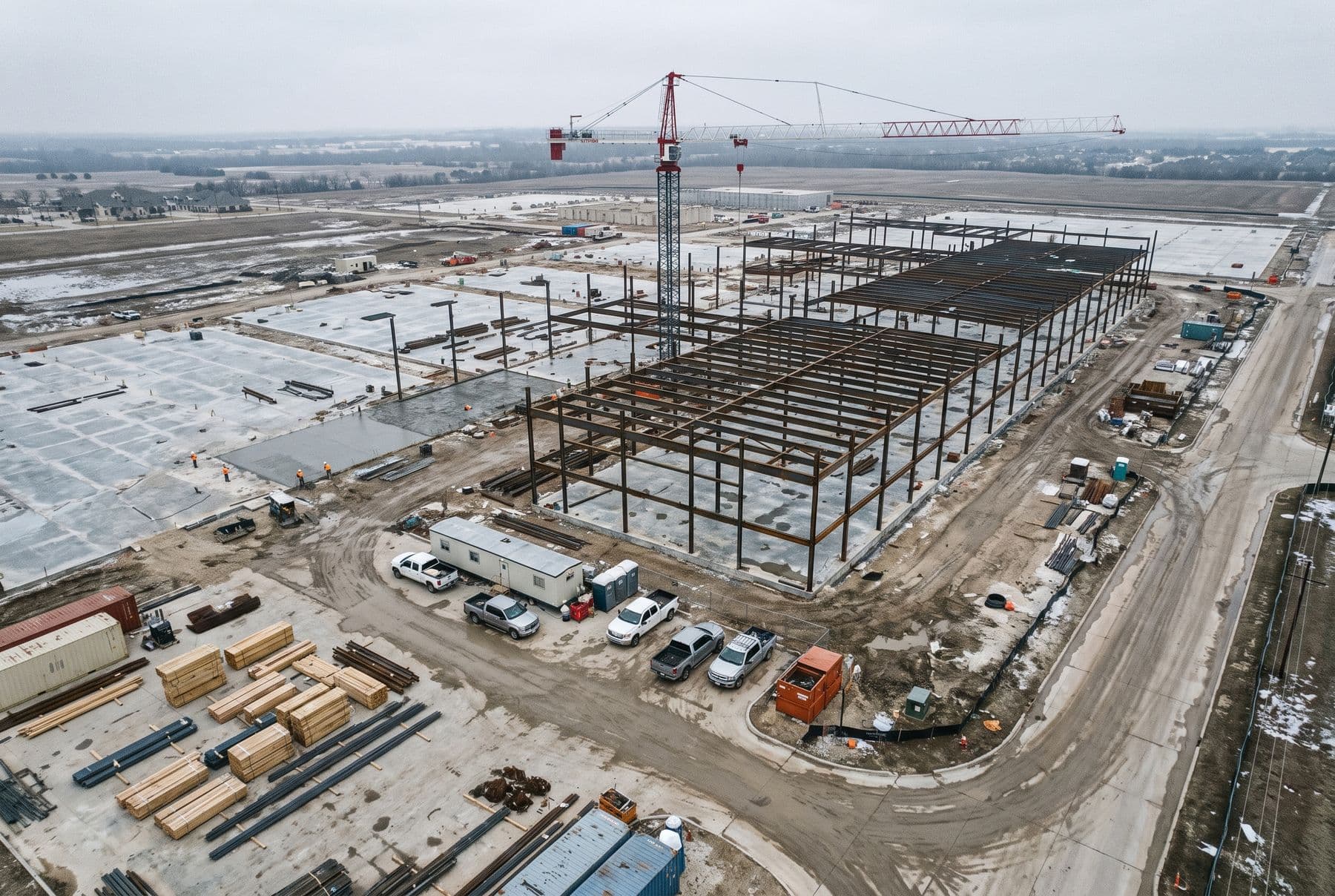
01 / From above
See the whole site.
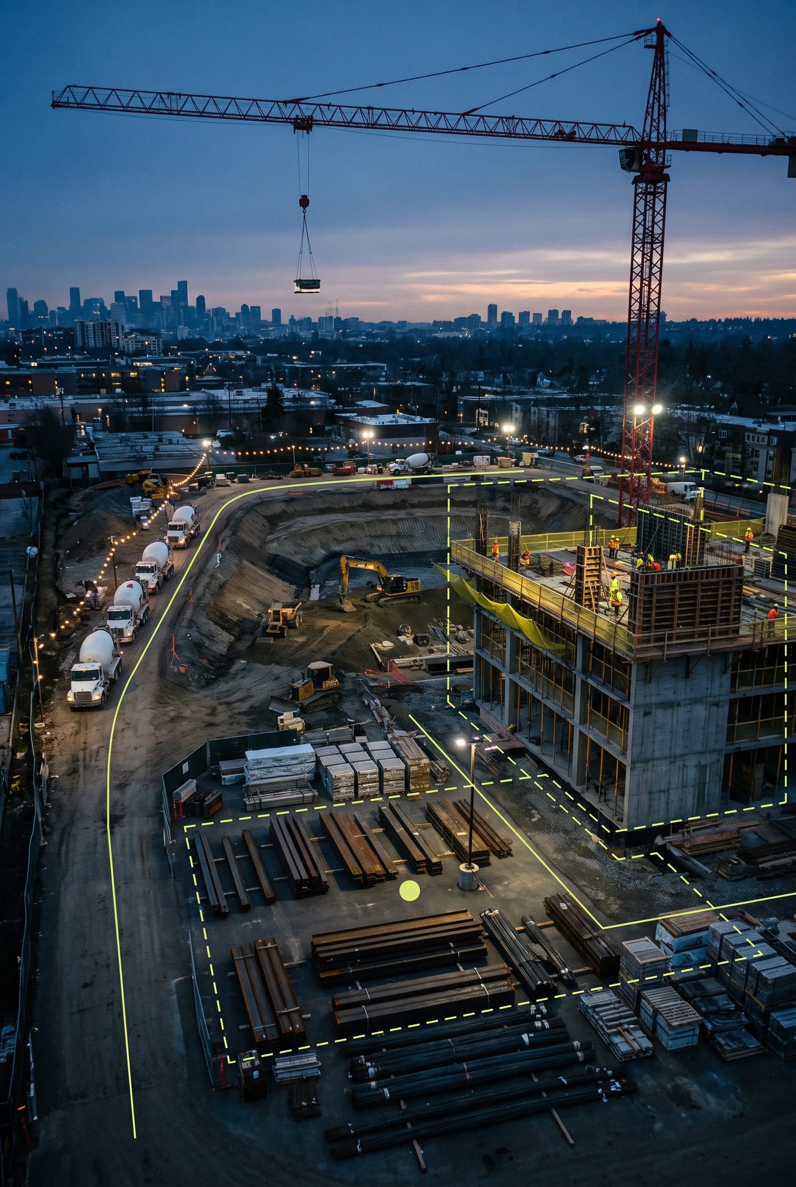
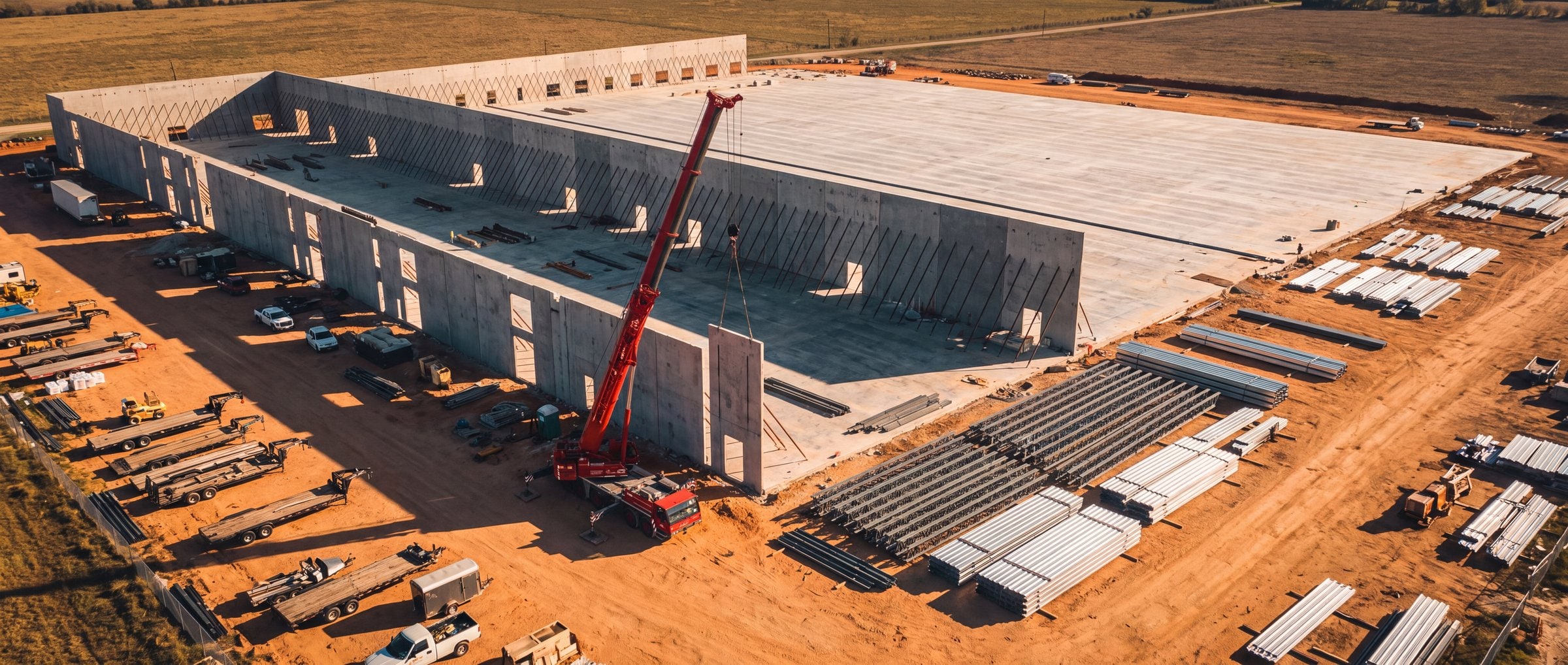
Aerial mapping, high-accuracy capture, thermal, inspection and measurement give teams a site-wide view of conditions and change.
Reality capture + site intelligence · DFW
The reality capture department you don’t have to build.
Aerial, ground, digital modeling, AI and automation across construction and energy, every project phase.
Project teams we’ve worked with









The Kinetic stack
01 / From above
Aerial mapping, high-accuracy capture, thermal, inspection and measurement give teams a site-wide view of conditions and change.
02 / On the ground
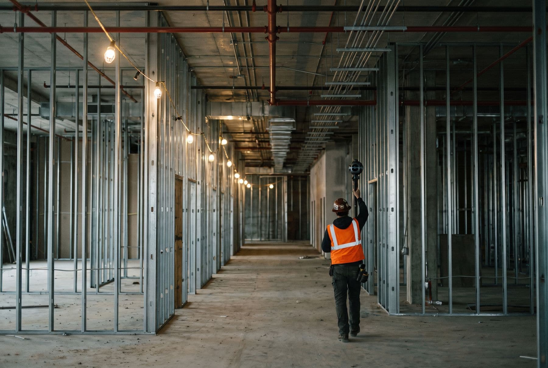
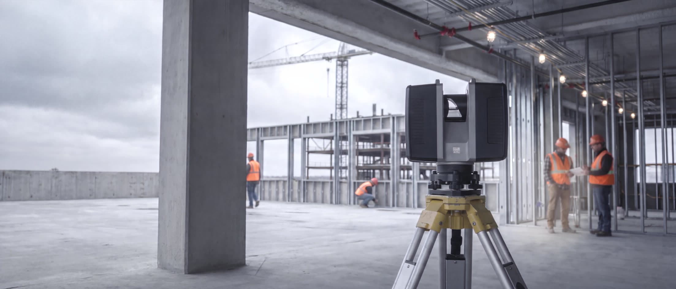
360 capture, LiDAR and laser scanning preserve interiors and existing conditions before walls, ceilings and finishes make them inaccessible.
03 / In the model
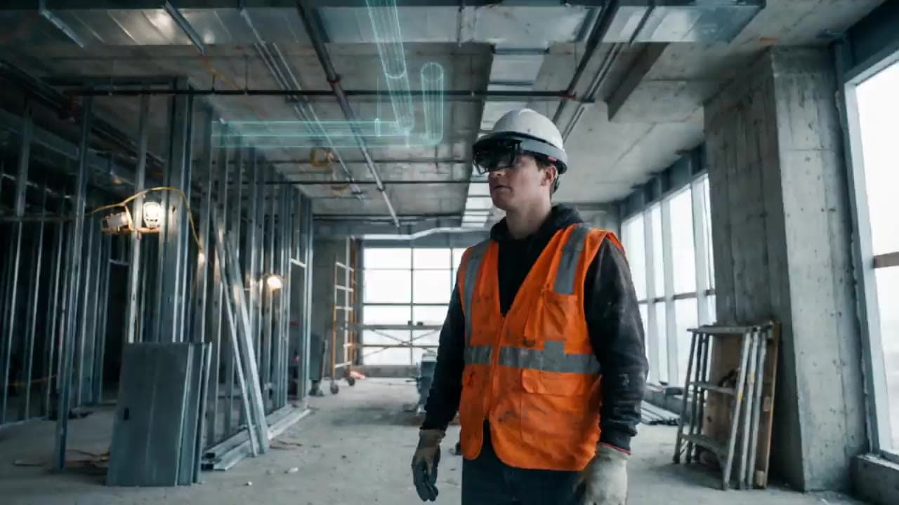
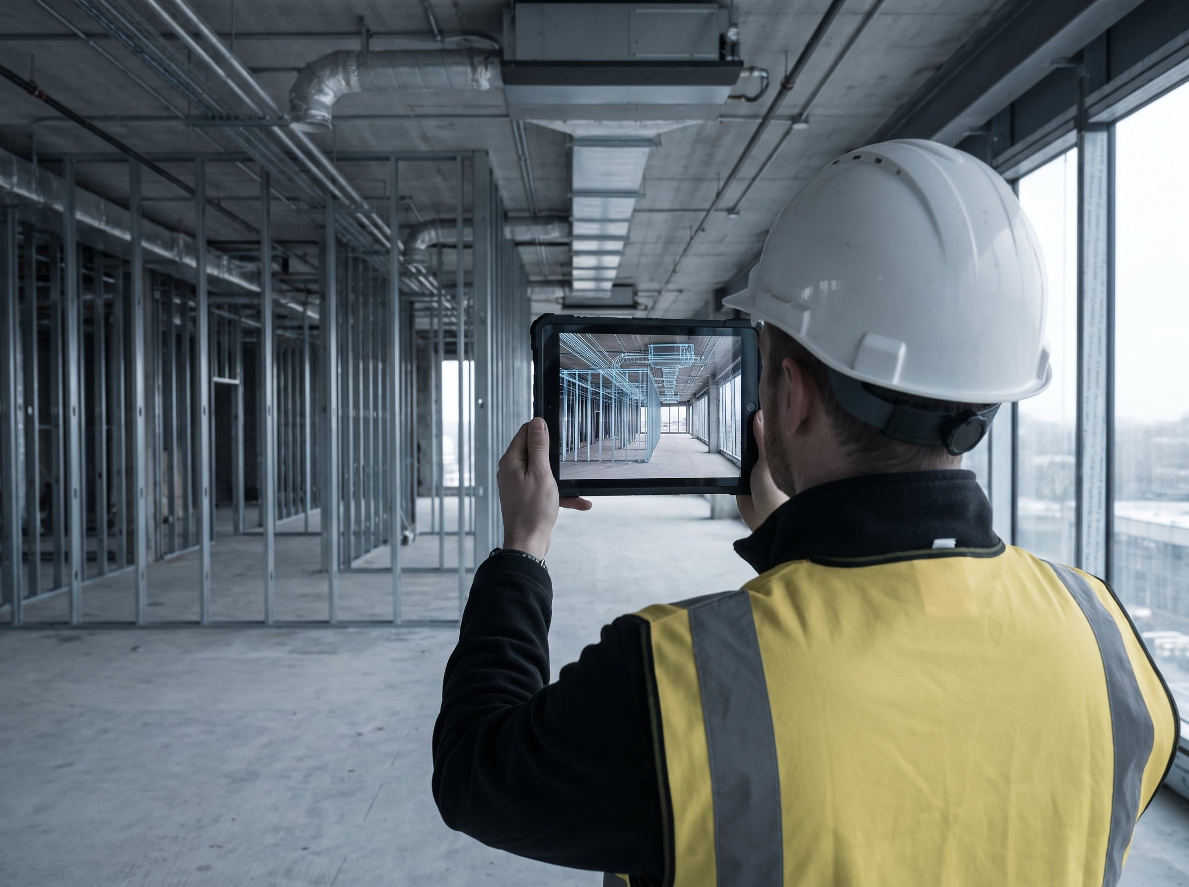
Digital models, BIM comparison and spatial data connect captured conditions to design so teams can verify what is actually being built.
04 / AI + automation
Capture on a schedule is only half of it. The system compares each visit to the last, surfaces what changed and what didn’t move, and makes the first pass through the imagery so your team reads findings instead of folders.
The output
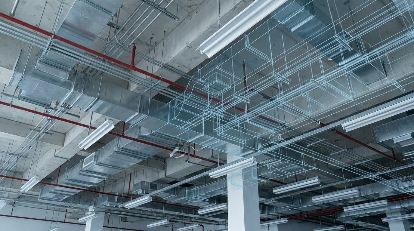
Design compare
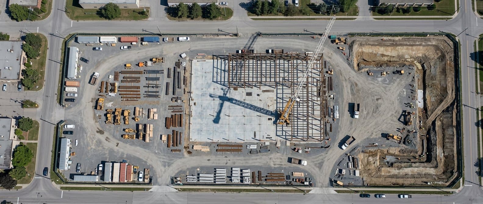
Aerial map
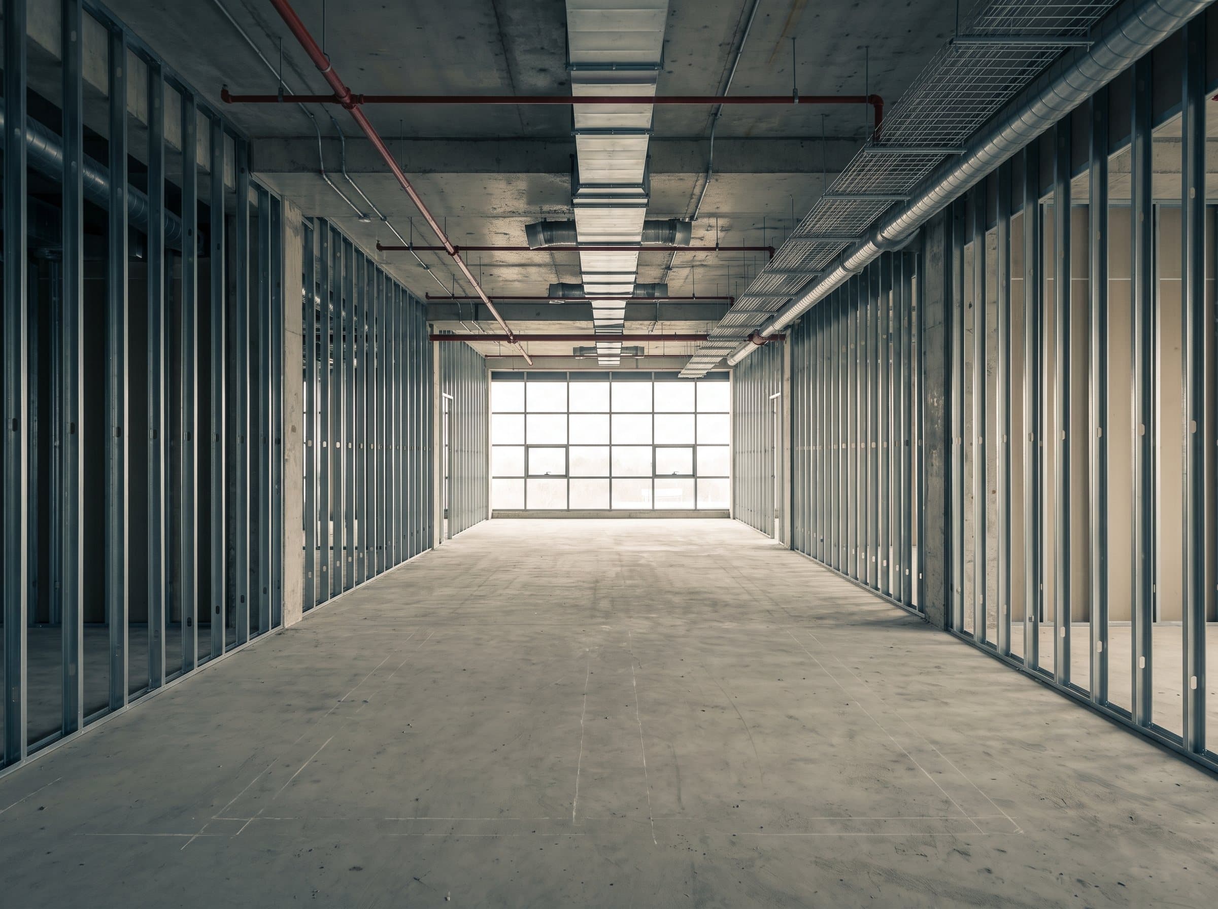
360 walk
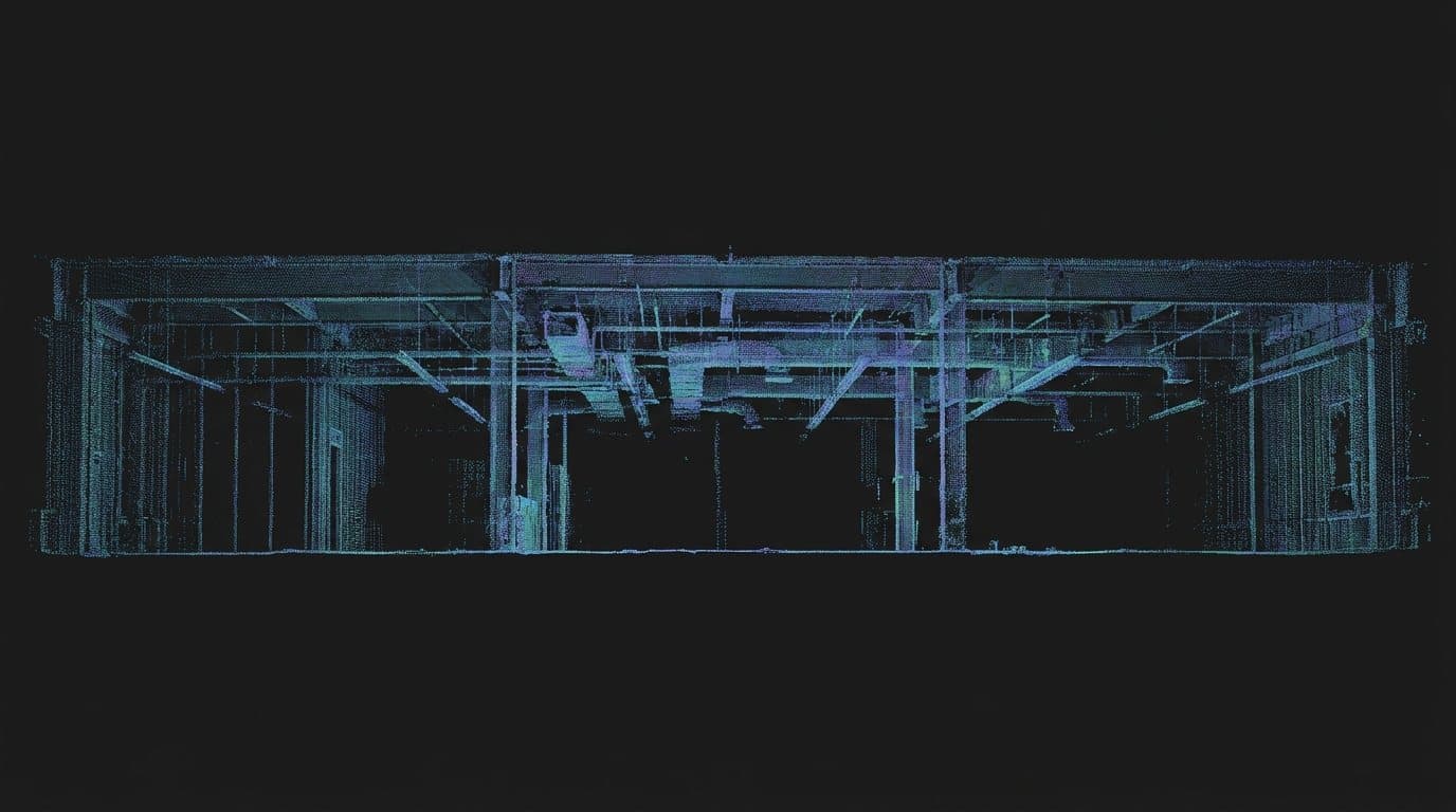
Laser scan
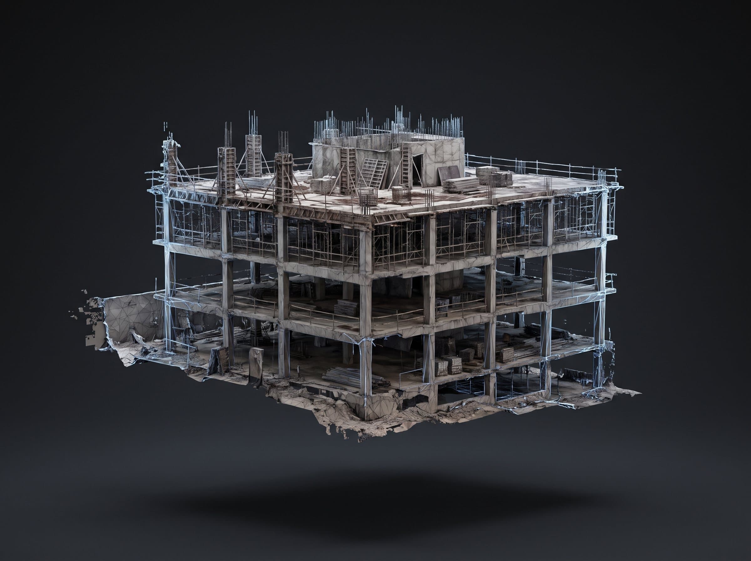
3D model
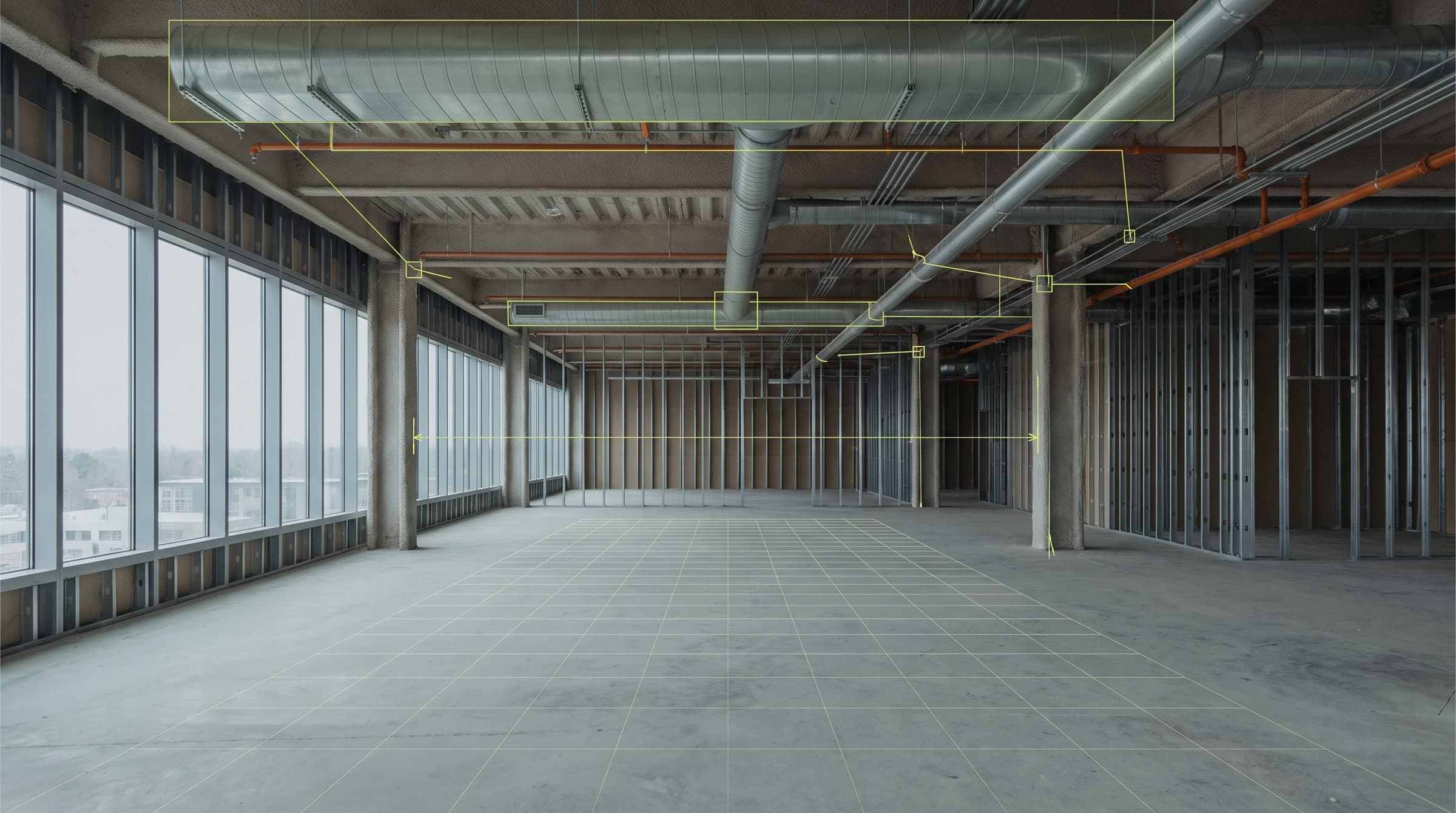
AI analysis
Real client. Real outcome.
$0M
in new projects secured
Real business impact
Kinetic Systems made it possible for us to secure $15 million in new projects, with expectations of more to come.
The data they gathered and the presentation they created were next-level and truly wowed our clients. Elevated Contracting Group will be using Kinetic Systems for all our ground-up construction. They’re truly going to help us elevate the construction standard.

Jonathan Croft
Director of Marketing, Technology & AI · Elevated Contracting Group
Across the project
The instrument changes because the question changes. What a project needs to know in precon is not what it needs to know the week before drywall.
Precon
Sitework
Structure
Enclosure
Interiors
Closeout
Operations
Built for
How it works
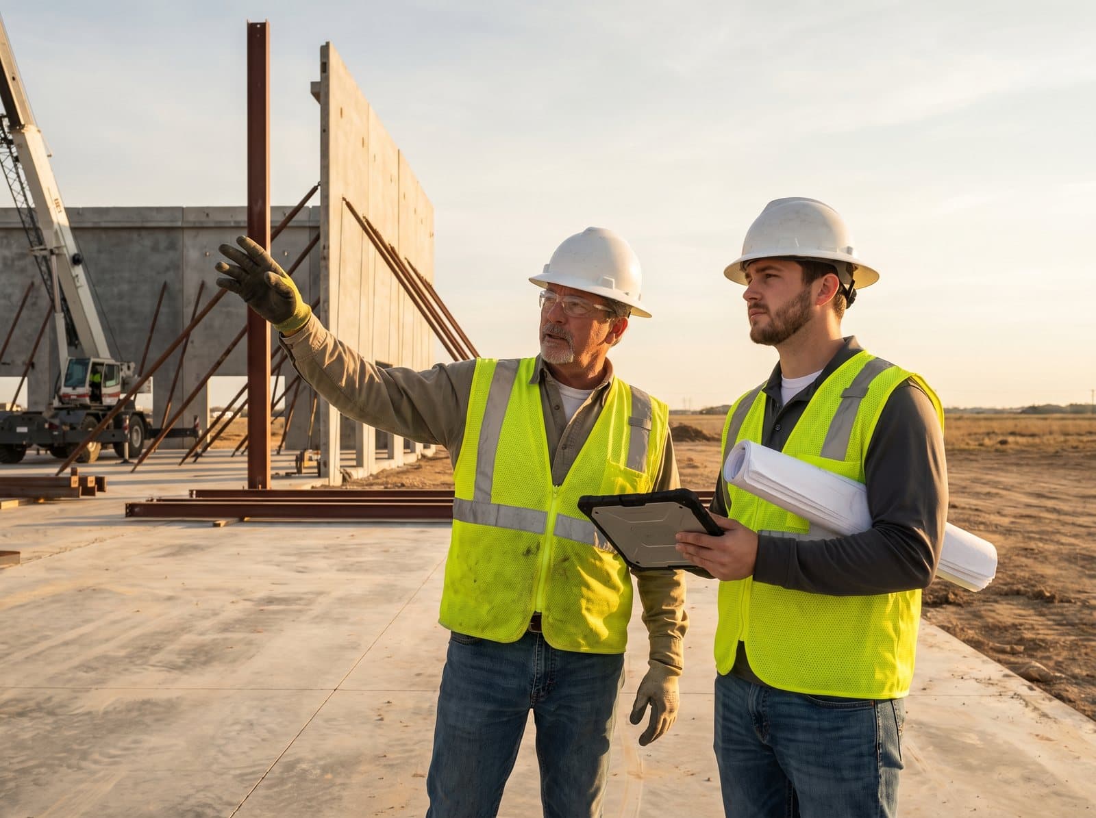
Send the project, drawings, schedule, or simply describe the condition, decision, or problem you need visibility into.
Kinetic selects the right aerial, ground, spatial, modeling, or automated capture methods for the project and phase.
Maps, imagery, scans, models, measurements, and verification are organized for the people making the decision.

Grayson Willard
Founder, Kinetic Systems
The company
Kinetic Systems is a veteran-owned construction technology company helping project teams create a reliable digital record of the physical site — then turn that record into something useful.
Reality capture, digital modeling, AI, automation, and field technology all work better when they operate as one system instead of a collection of disconnected tools.
DFW-based. Field-ready. Built to work inside the way your team already operates.
What we bring
Operational discipline
Repeatable workflows, documentation, accountability.
Field experience
Technology designed around how work actually happens onsite.
Connected systems
Capture, models, intelligence, and automation working together.
Practical delivery
Useful outputs your team can actually act on.
Built to fit the project.
We bring the technology together behind the scenes so your team gets one clear workflow — not another stack of tools to manage.
Before it changes
Tell us what you need to understand. We’ll design the capture plan around your site, schedule, and project phase.
No obligation. No software purchase. No capture program to build.