
Services
Reality capture for construction. Every service we run — and which one is wrong for your job.
Kinetic captures the jobsite from above, on the ground and in the model — and hands back a dated record anyone on the job can open.
Start with the problem.
- I need to see the whole site every weekDrone mapping
- I need inside the building, on a cadence360° interior capture
- Trees or terrain are defeating photographyUAV LiDAR
- I need dimensional detail of a building that already existsTerrestrial laser scanning
- I need a big interior scanned fastMobile scanning
- I think the envelope or roof is leaking heat or waterThermal imaging
- I can’t rely on anyone being there on the right dayScheduled recurring capture
- I need a model of a building nobody ever modelledScan-to-BIM
- I think it wasn’t installed the way it was drawnDesign vs. Installed Verification
- The owner needs something to hold at handoverDigital twin
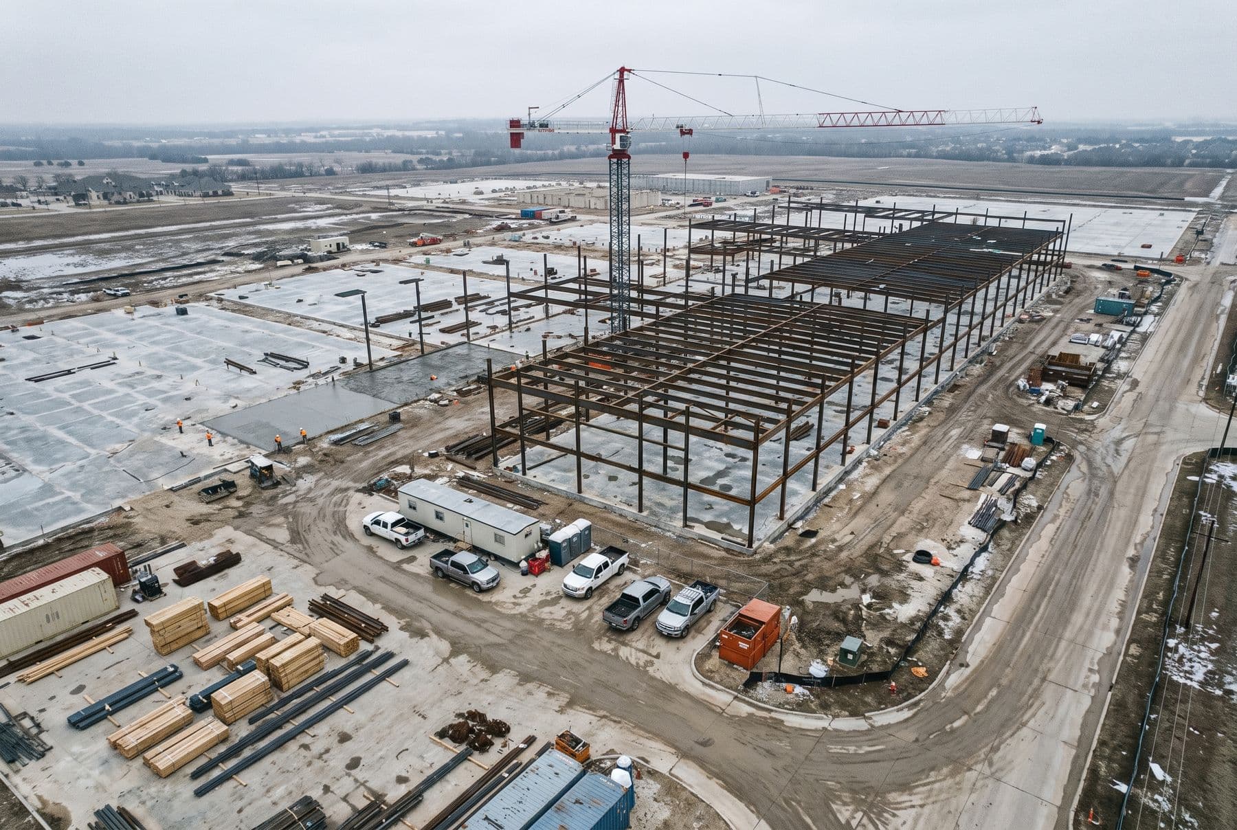
01 · Aerial & Geospatial
The whole site, on a repeatable path.
02 · Site Documentation & Monitoring
The project record — what was visible, where, and on what date.
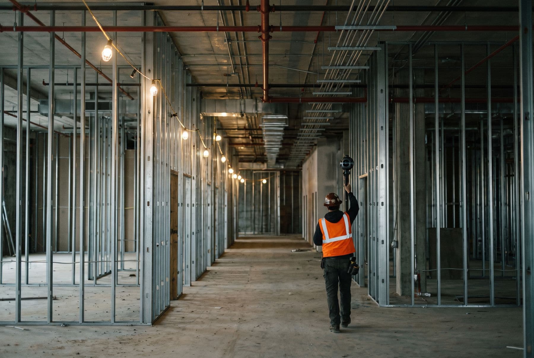
03 · 3D Scanning
Measured geometry, when a photograph will not settle it.
04 · 3D Modeling & Drawings
Geometry and measured drawings, without a BIM process attached.
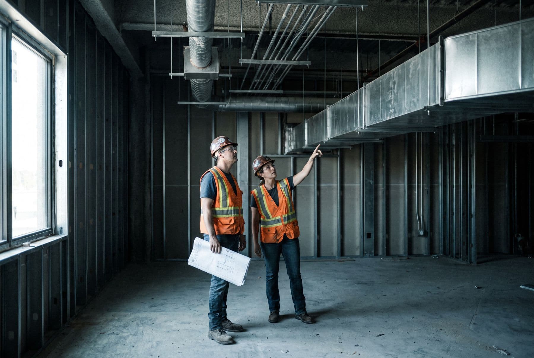
06 · Verification & Analysis
Where reality and the plan disagree — in geometry, in quantity, and over time.
07 · Thermal & Specialty Capture
Screening a condition you cannot safely get close to.
08 · Digital Twins & Immersive
The finished building, navigable after everyone has left.
09 · Site Intelligence & Automation
The layer above the capture, once there is enough of it.
Three more, quoted per job.
Augmented reality overlay
“I want to see the design standing in the room before we close it.”
Photogrammetry & 3D site models
“I need to show the whole site to people who won’t read a drawing.”
4D progress replay
“We’re arguing about what the site looked like in March.”
What actually lands in your hands.
No seat charges and no lock-in. If you leave, the record leaves with you. Every format opens in software you already have, so you can walk away with the whole record.
Orthomosaic
GeoTIFF, JPGStitched, measurable top-down imagery of the whole site.
Point cloud
E57, LAS, LAZ, RCPMillions of measured points describing a space or a surface.
360 walkthrough
Web viewerNavigable interior, pinned to your plan, indexed by date.
3D surface & mesh
OBJ, FBXTextured geometry of site or structure.
As-built model
RVT, IFC, DWGModelled geometry to an agreed scope.
Thermal imagery
Radiometric JPG, PDFRadiometric imagery with visible-light reference.
Comparison report
PDF, web viewerCoordinated model against what is physically there.
Turnover archive
Open formats, no lock-inThe whole record at completion, organised for the owner.
Not sure which one your job needs?
Send the project — an address, a schedule, or just what you’re trying to document. A person reads it and comes back with an approach and a price.
Scope your project